New Zealand: Tongariro Alpine Summer Crossing
Described as one of New Zealand’s greatest day hikes, the Tongariro Alpine Crossing can be a challenging journey, across a remarkable volcanic landscape.
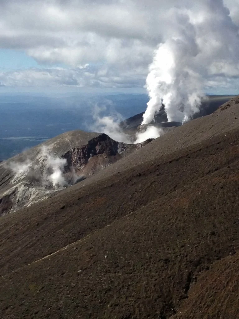
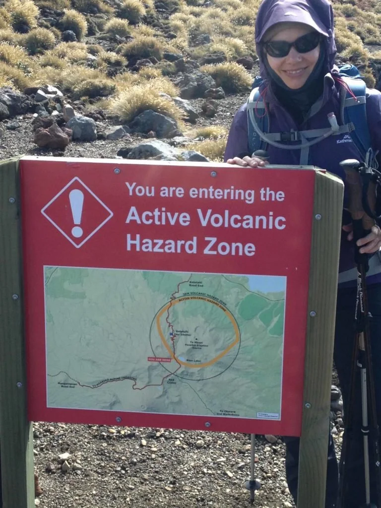
Volcanic activity on the trail
Logistics
Staying in the Tongariro National Park village, we had transport provided at either end.
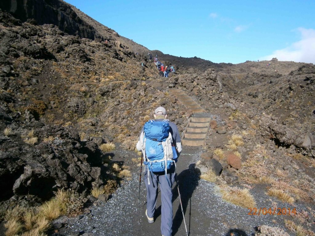
Start of the uphill trail
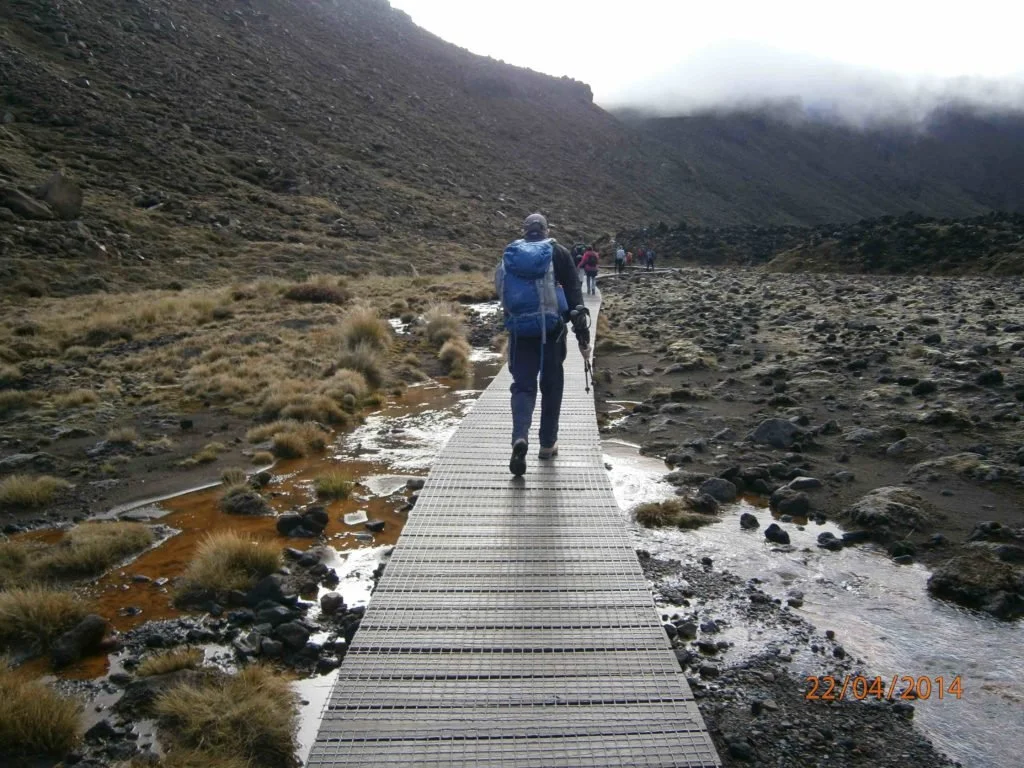
Requiring a good level of fitness to complete the Tongariro Alpine Crossing hike, you need to cover the distance of around 19.4km (12mi) in 7-8 hours. This includes two challenging climbs, of around an hour each, carrying a day pack.
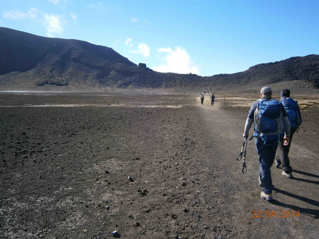
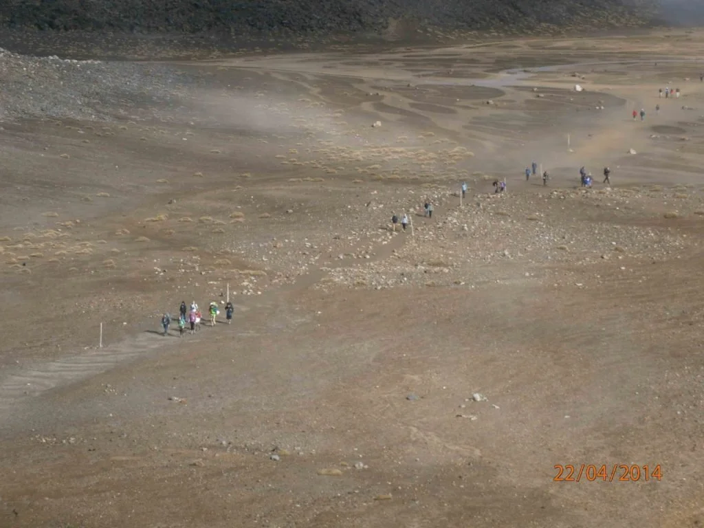
Long flat stretch across an old crater
It’s not just a ‘stroll in the park’, but a serious hike over a mountain.
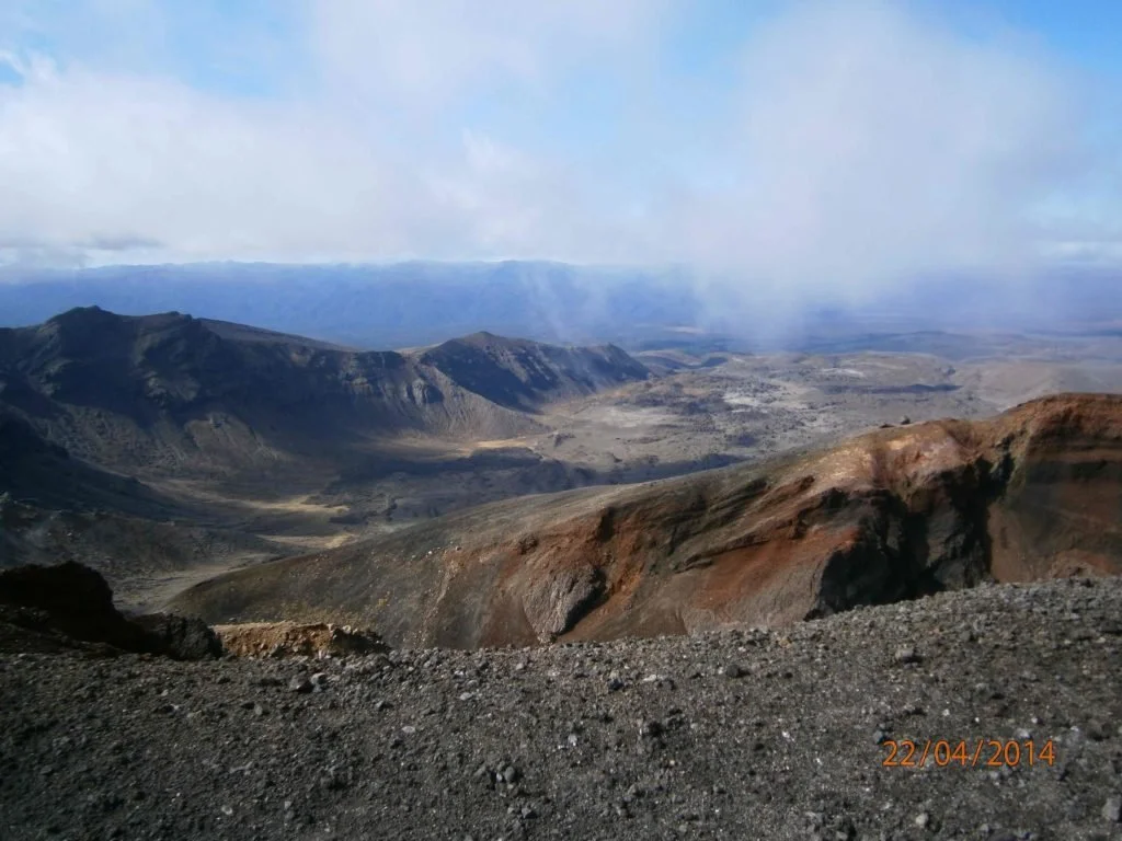
Crater views
Highlights
Among the highlights are steaming vents and hot springs, old lava flows, beautiful water-filled craters and stunning views.
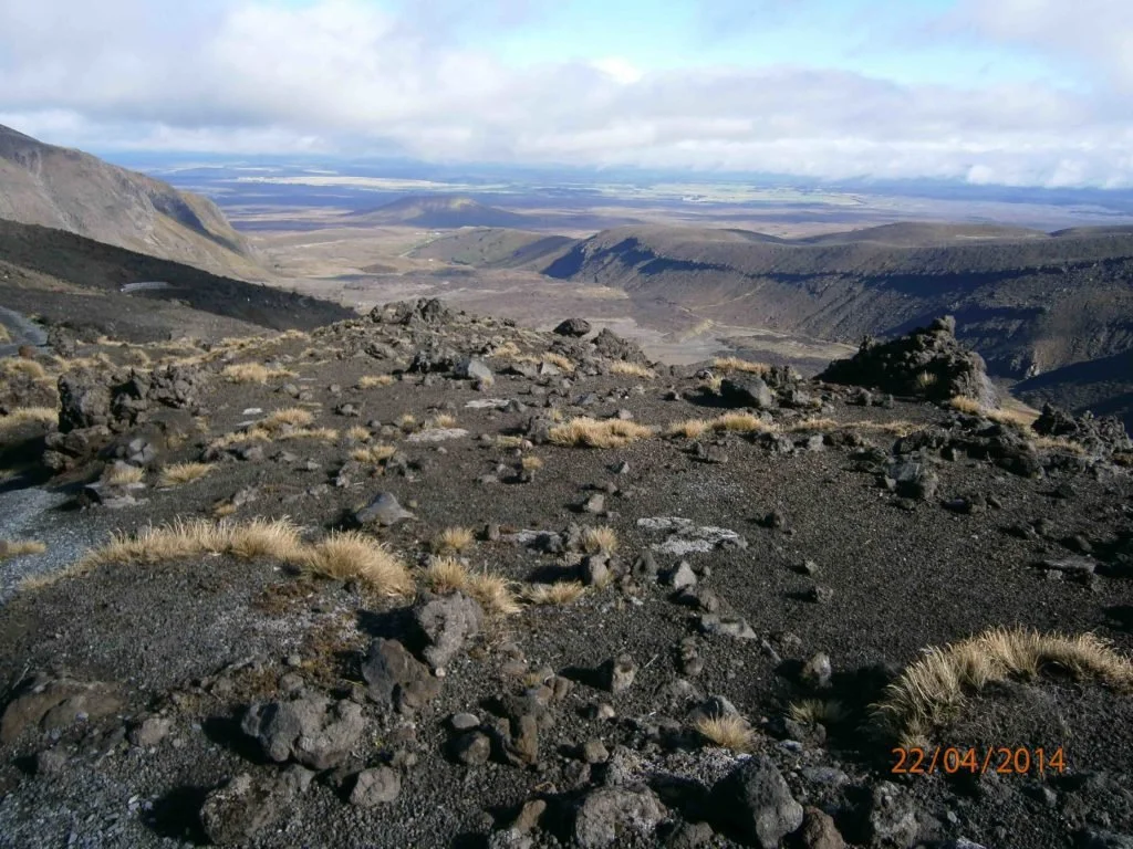
Views to the south west
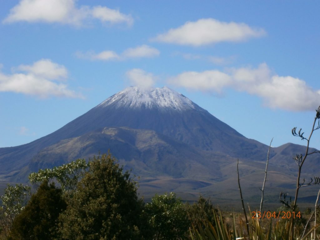
On clear days you can see Mount Taranaki in the west, Mount Ngauruhoe (Mt Doom), Kaimanawa Ranges, Lake Taupo and beyond.
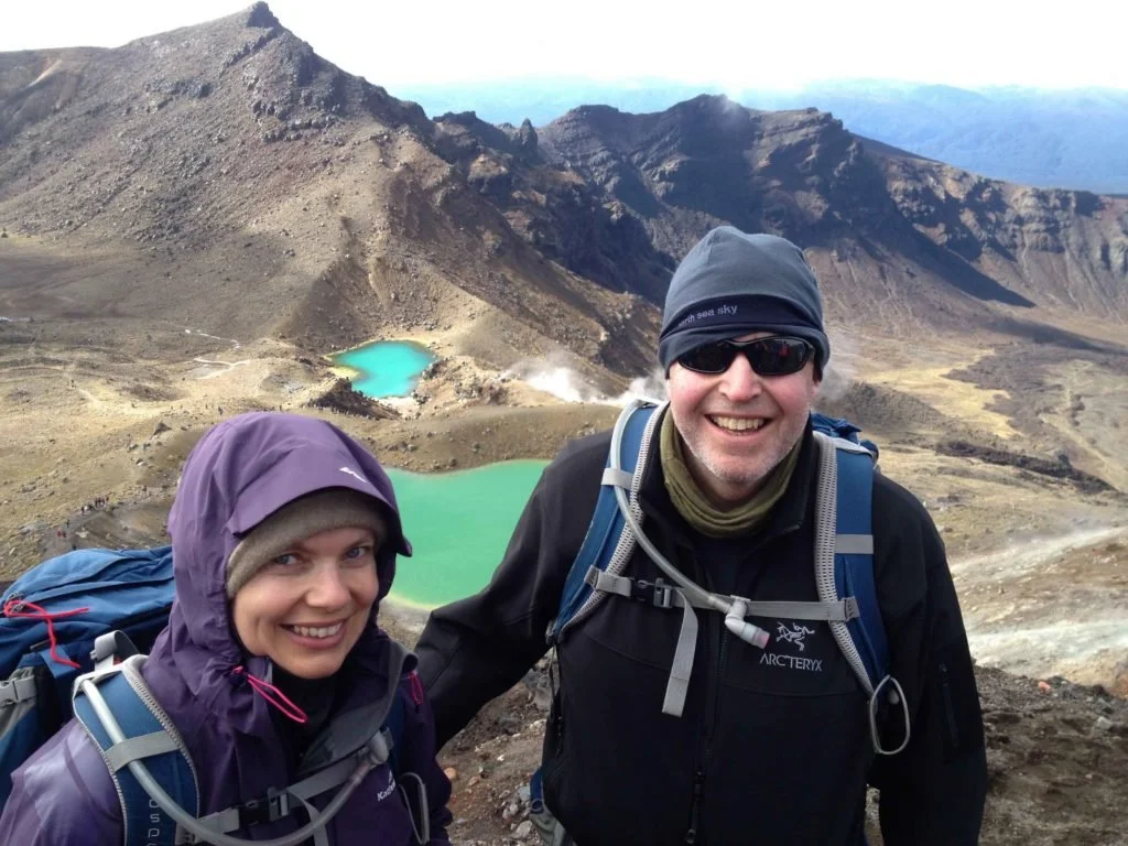
Half way! View before going down the scree slope to the lakes
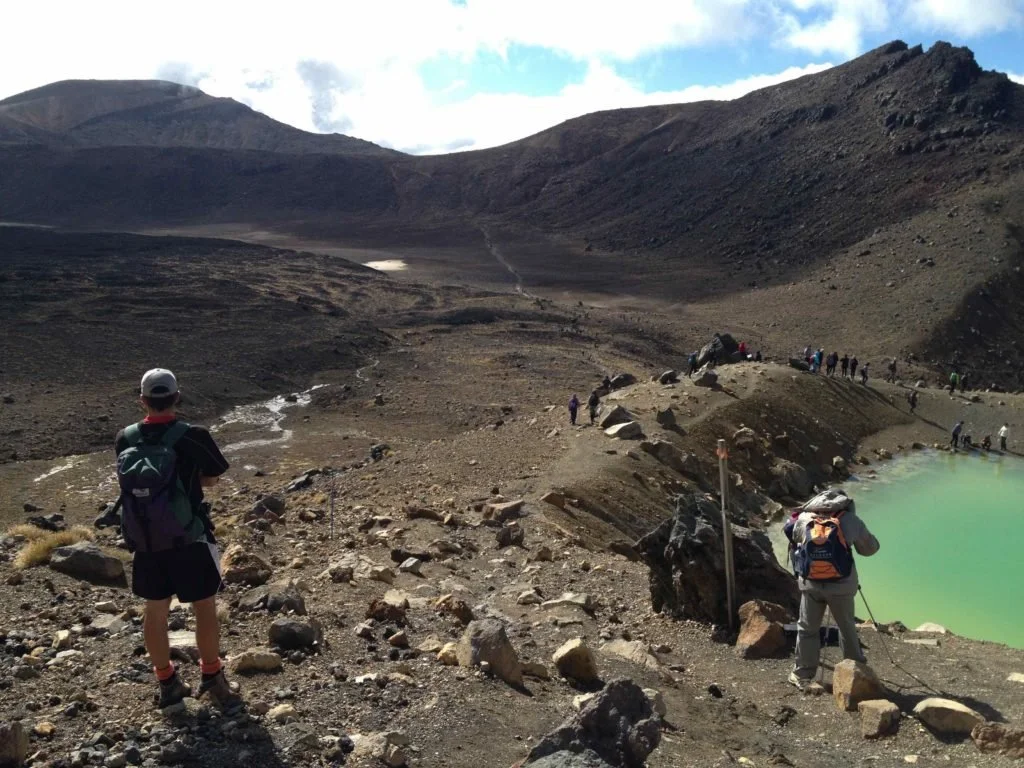
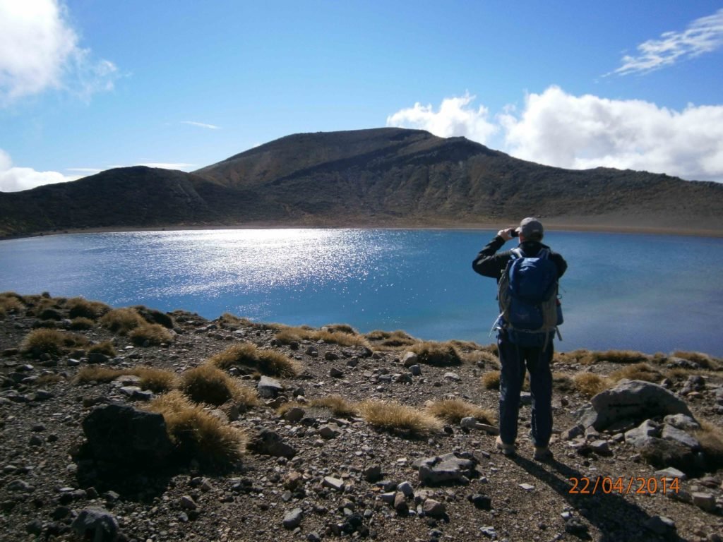
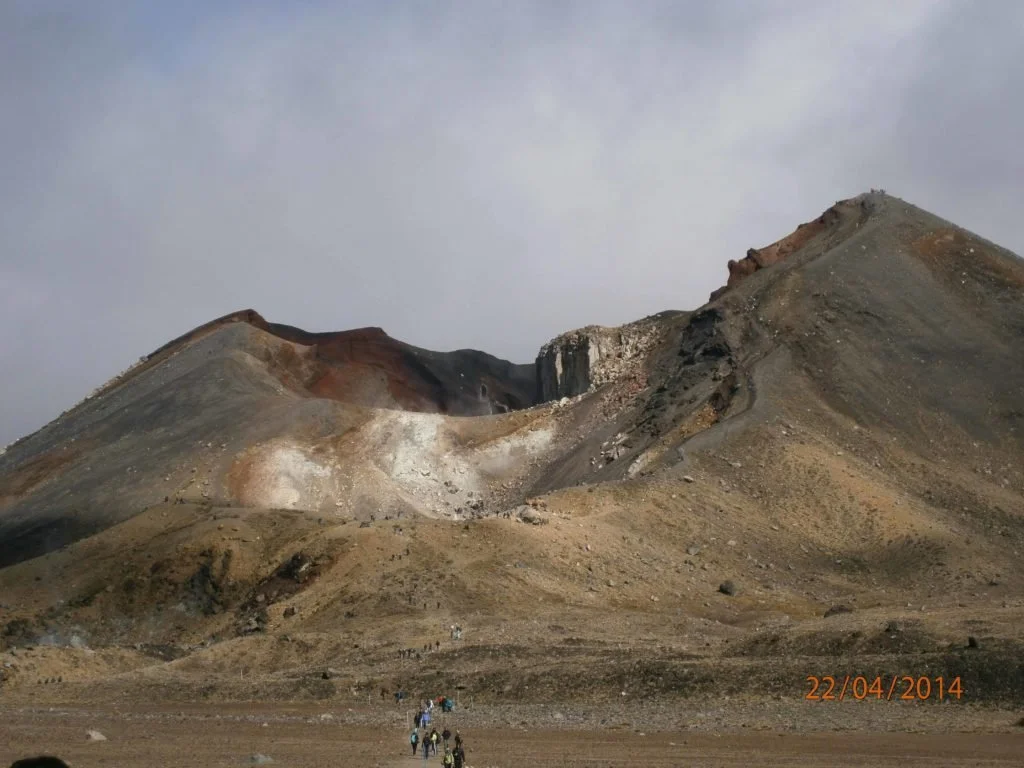
The best views are from the highest point, Red Crater, 1,886m (6,188ft). From here, the track descends steeply to Emerald Lakes and you can see across to the Blue Lake past the Central Crater. The Emerald Lakes’ brilliant colour is caused by minerals leaching from the adjoining thermal area.
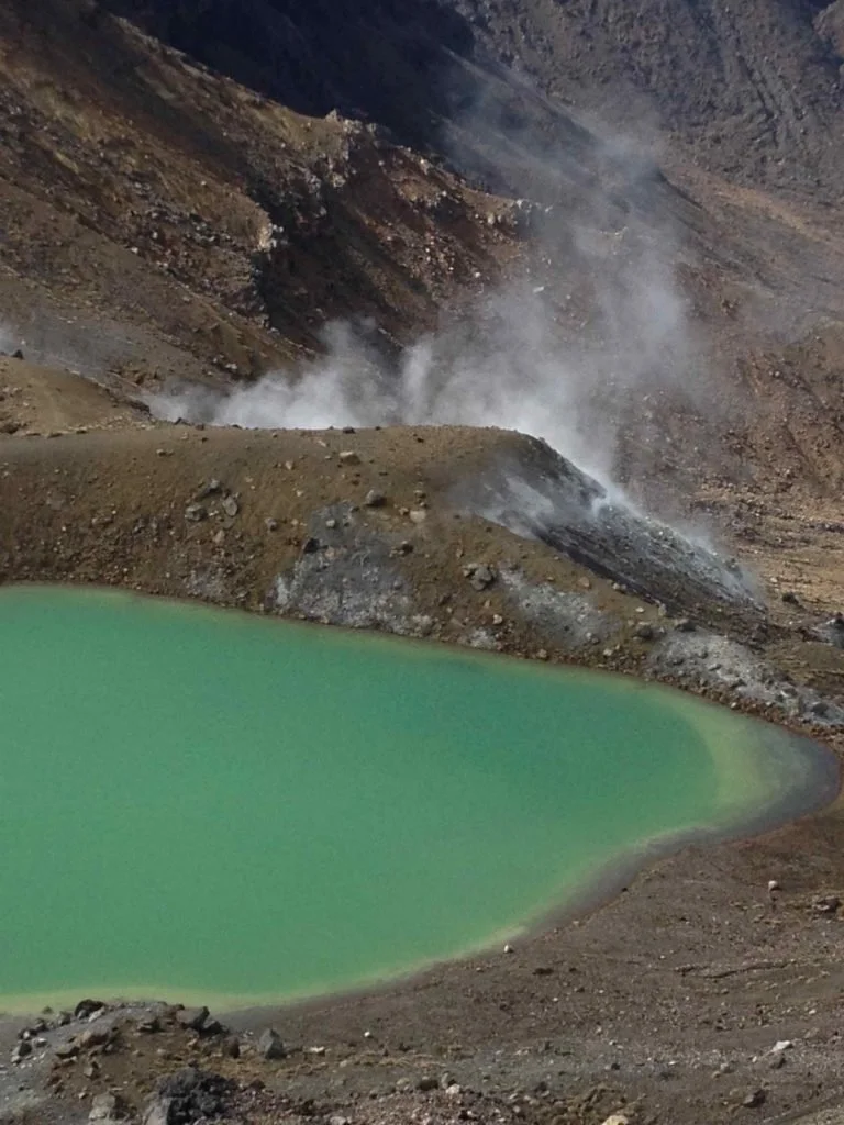
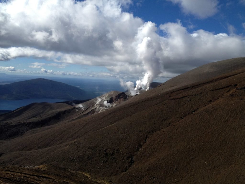
Thermal steam near the lakes
Thermals can be seen steaming around the Red Crater and Emerald Lakes.
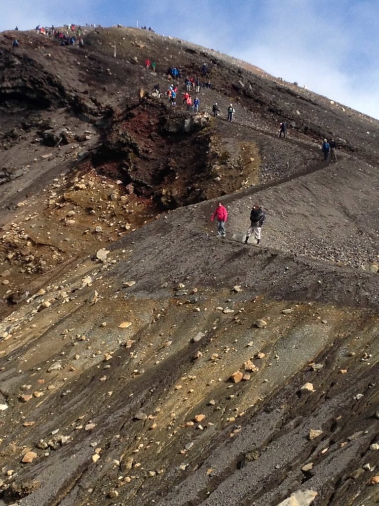
Scree slope descending to Emerald Lakes
There is a short but narrow ridge you need to cross to reach Red Crater. In high winds, this can be quite tricky to navigate.
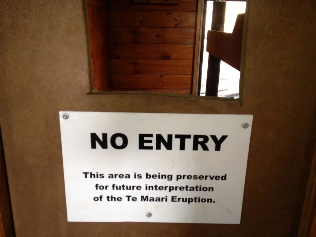
Ketetahi Hut sign
A very steep scree slope also awaits your descent to Emerald Lakes. At Ketetahi Hut, look out for the room where a volcanic rock fell through the roof during the 2012 volcanic eruptions.
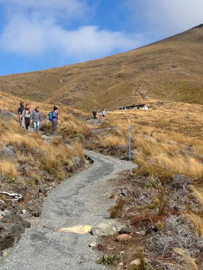
After the hut, the trail winds down through scrub and native bush to the carpark
After the hut, there is a lengthy descent back to the car park at Ketetahi Car Park (end of the crossing).
Onwards and upwards!
Trevor
Insights
Plan ahead. The Tongariro Alpine Crossing hike is free (at least, when we did it in 2014), but it’s not a circular track, meaning you’ll need to arrange for someone to drop you off at the beginning and pick you up at the end of the track.
Transport can easily be arranged from Taupo, which serves as a great base for all sorts of North Island adventure activities, or within the Tongariro National Park.
For other transport or accommodation options, check out the Tongariro Crossing website.
Watch the weather. The weather on the Tongariro crossing can change rapidly, so be prepared to change your plans and turn back, especially when visibility is poor and there are strong winds
Check the Tongariro or National Park mountain forecasts
If the Department of Conservation (DOC) advises against hiking the Crossing, heed their warnings – https://www.doc.govt.nz
The Tongariro Alpine Crossing can technically be hiked year-round. However, it’s best hiked in the summer months (December-February).
If you do want to hike the Tongariro Alpine Crossing in the winter, a guide is recommended.
Take lots of water and snacks. There isn’t anywhere to refill water bottles or buy food.
Cellphone coverage is intermittent and shouldn’t be relied upon in an emergency.
If a volcanic eruption happens, do as the signs say: make sure you look up and see which direction the rocks are falling, then run the opposite way!