USA: Multnomah Falls, Oregon
Looking for a short day hike just out of Portland? Well, a hike to the top of Multnomah Falls, 542ft (165m), may just whet your appetite – and more so. Located on the Oregon side of the Columbia River Gorge, adjacent to the Columbia River, there are several hiking options or loops you can take. We found this hike prior to our trip to the Canadian Wilderness, so decided it would be a good warm-up.
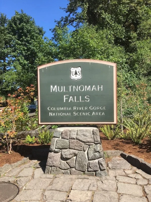
Start of the track at Multnomah Falls Lodge
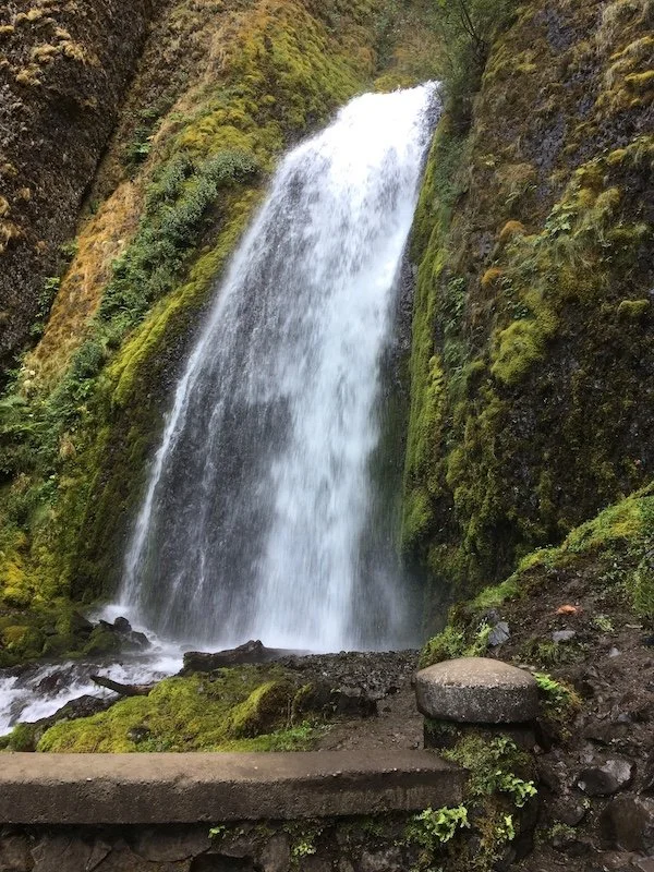
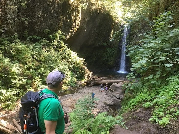
We did the loop from the base of Multnomah Falls Lodge, to the top of the Falls along a well kept trail, then hooking right to Wahkeena Springs descending back down to Lemmon Viewpoint and Wahkeena Falls, before closing the loop back to our starting point at Multnomah Falls Lodge – all up around 6.2miles (10km), 3 hours.
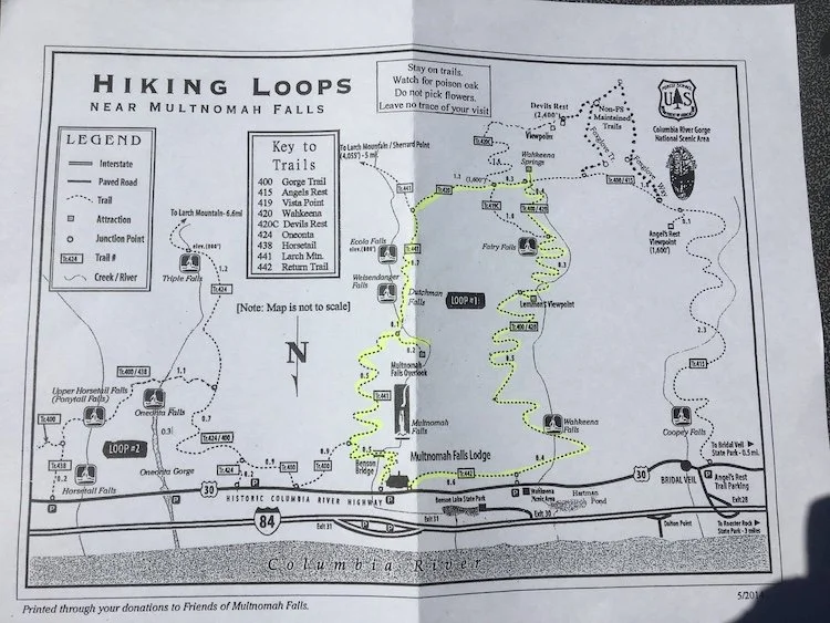
Hiking trails around Multnomah Falls, with our trail highlighted in yellow.
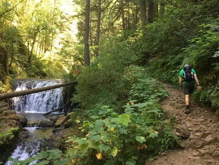
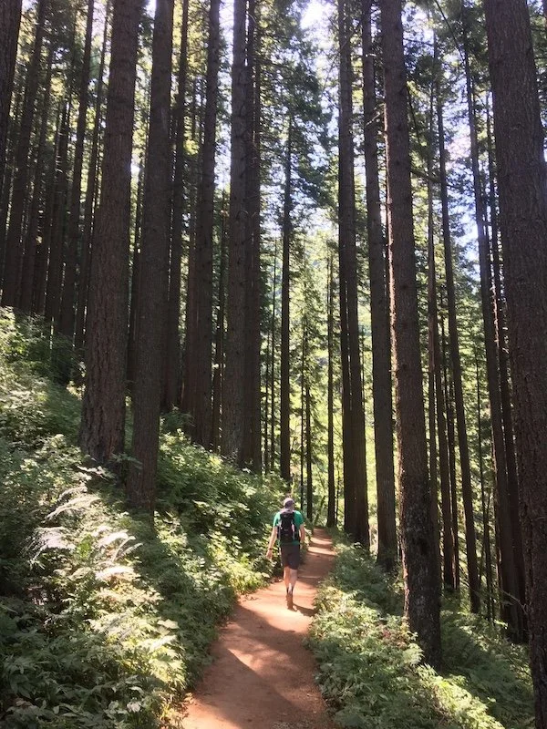
The track is good quality at the start and becomes more rocky and uneven further up.
Multnomah Falls is a 45-60 minute drive from Portland.
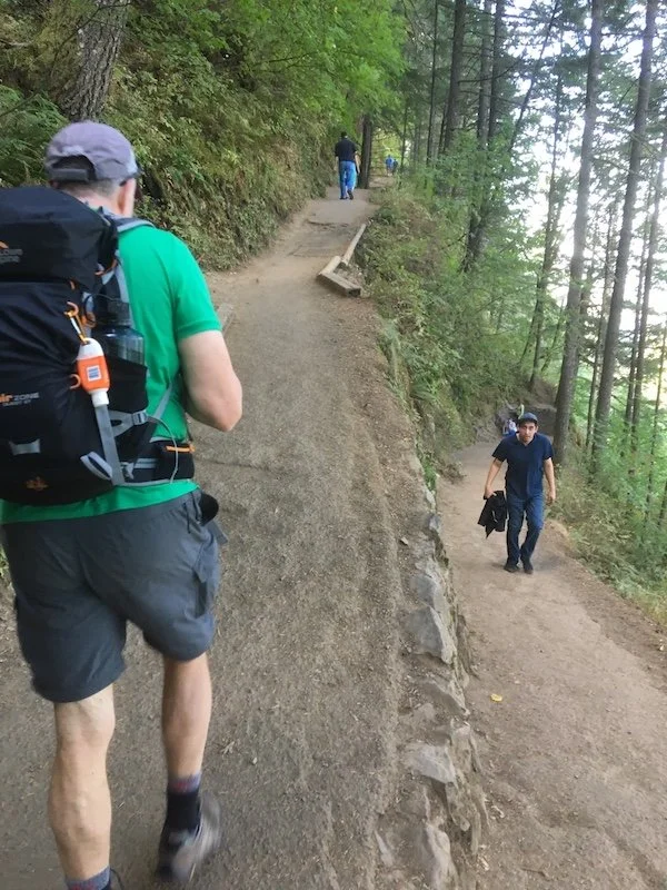
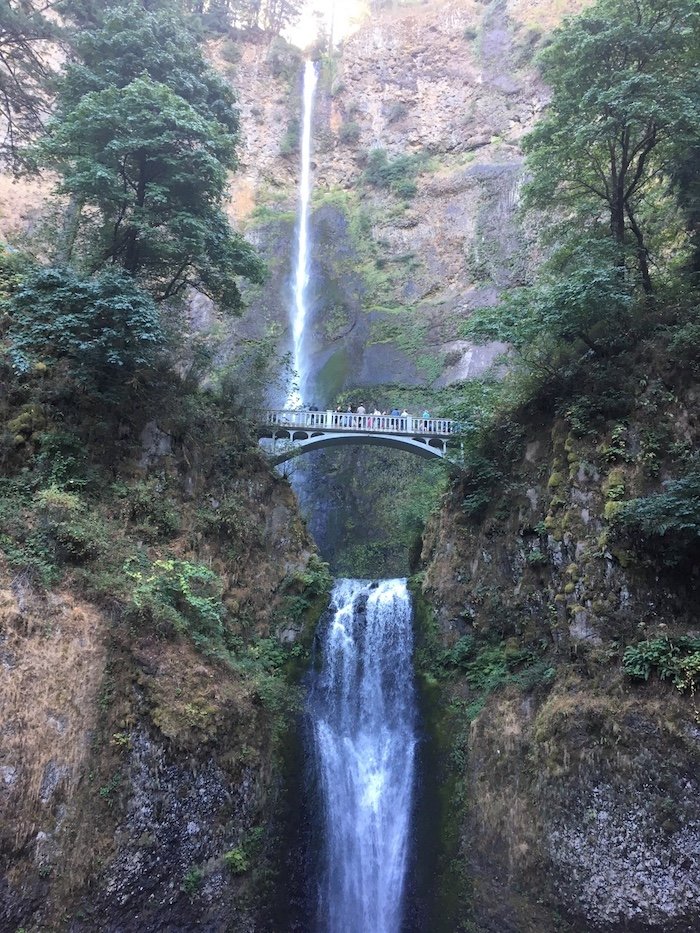
Onwards and upwards!
Trevor
Insights
With picnic areas and lots of hikes to choose from, the area tends to get very crowded.
Finding a park can be tricky on a weekend especially during summer months so suggest arriving early – before 10am. Parking is free (at least when we were there in 2017).
Take adequate water, especially on a warm-hot day which you tend to get in Oregon during the summer months.
If doing the loop from Multomah Falls, beware the trail can be quite rocky and uneven so may be wise to wear sturdy footwear.