New Zealand: Routeburn Track
Why Routeburn?
In preparation for our forthcoming trek to Everest Base Camp, we decided to undertake the Routeburn Track guided by Ultimate Hikes. As my daughter was tagging along, she had demanded (sorry, “requested”) some form of luxury – a bed, hot showers and a three-course meal every night (freeze-dried food was out of the question). Unfortunately for her, she couldn’t get out of carrying a backpack though. At the end, she remarked, “we got fed better than any school camps I’ve been on”. For the price, I would certainly hope so.
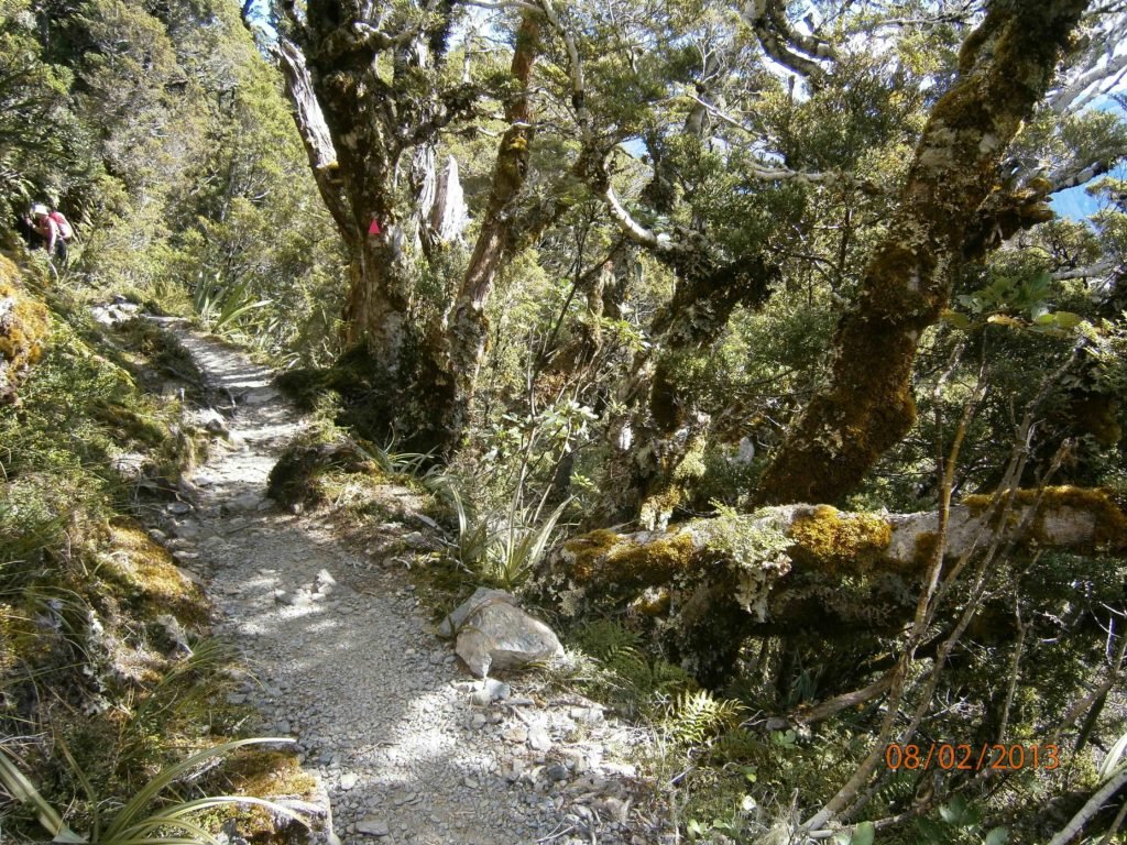
Day 1 started with a bush walk
When to go
We chose the month of February as this represented the best weather window given previous weather forecasts. Fortunately we weren’t wrong as sunny days followed us everyday, which allowed us to hike in just t-shirts.
We flew in from Wellington to Queenstown in the South Island the night before. Once at the briefing centre, we introduced ourselves to our fellow 35 hikers. The group comprised mainly Aussies, a few Americans and one Kiwi – my partner, Emma.
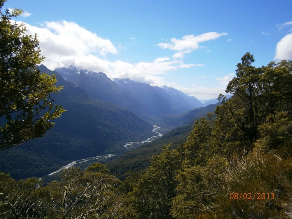
Hollyford Valley
About the Routeburn Track
We found the Routeburn Track was certainly an epic alpine walk with stunning vistas of sweeping valleys below and majestic peaks above. As we hiked up and along the ridge line on day two, we were crossed two National Parks – Fiordland and Mt Aspiring. Here, we had a bird’s eye view (or kea eye view!) of the Darran Mountains across the Hollyford Valley. This slices through Fiordland to the distant Tasman Sea at Martin’s Bay.
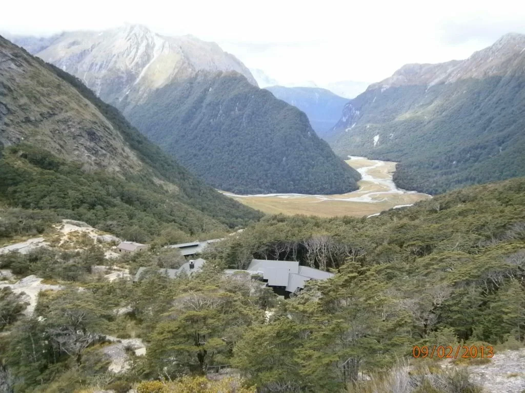
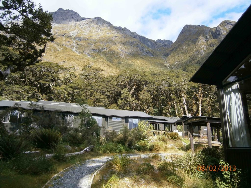
Routeburn Valley with lodge in the foreground
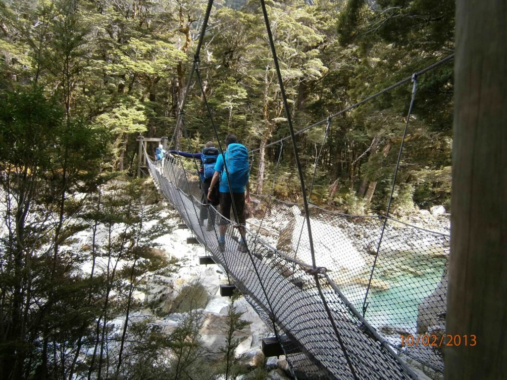
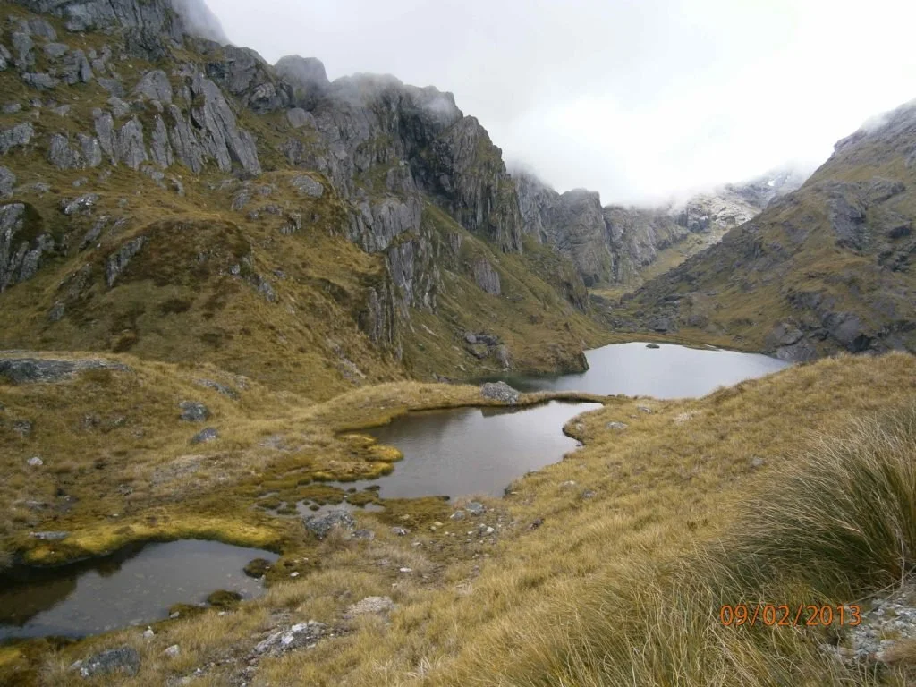
In total, the Routeburn Track is a 3 day hike spanning 32km (19.8mi). The variety of landscapes will astound you: mountainous peaks; sheer rock faces; alpine basins; pristine lakes; cascading waterfalls, depending on the rain; luxuriant forest; turquoise rivers and million dollar views around every corner.
Onwards and upwards!
Trevor
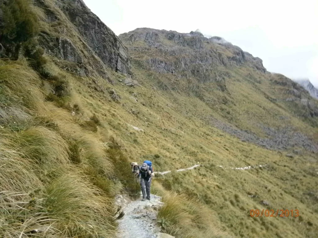
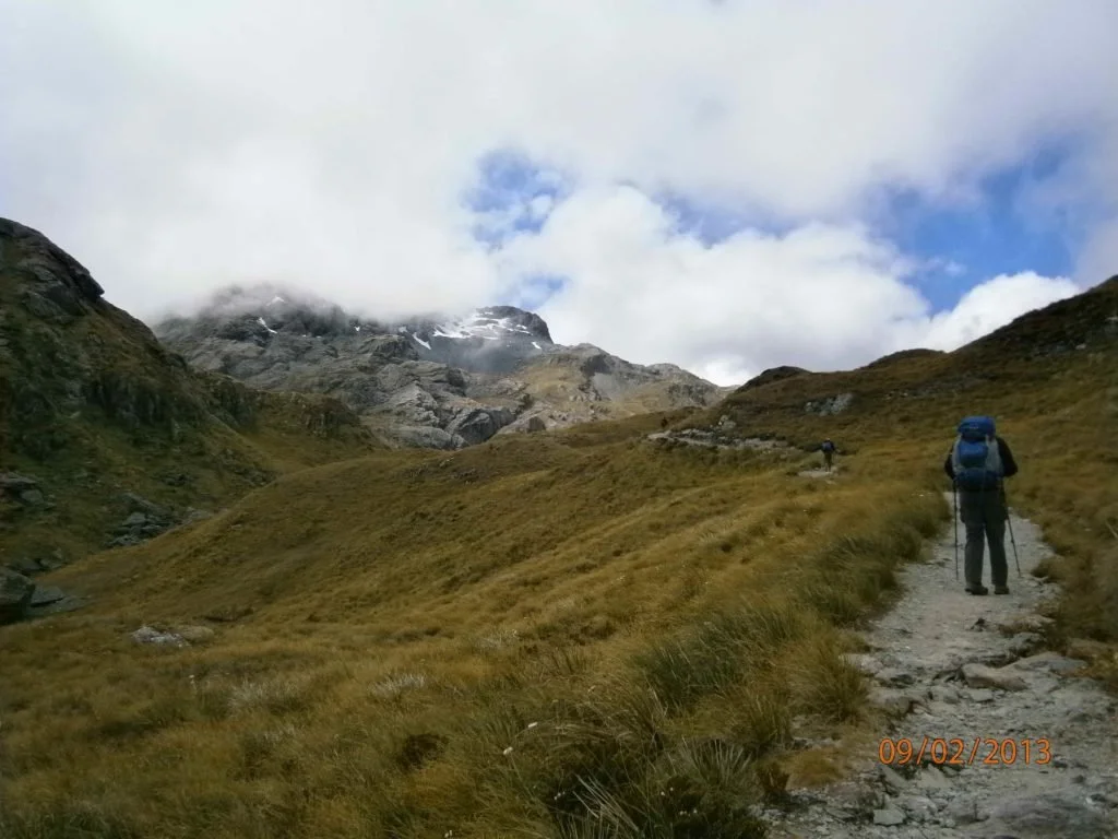
Some of the trail is quite exposed
Insights
The generator running the electricity turns off around 10pm, coming back on at 6am. So take a head torch if you want to read.
Don’t worry about buying or hiring any extra gear if you decide to go with Ultimate Hikes. They will supply you with a back pack, waterproof pack liner, rain jacket, sleep sheet and snacks.
Wear sturdy boots or trail shoes (no joggers) as the trail can be very rocky and steep in parts.
Watch out for gorgeous sunsets over the mountains.
Each day ends at an ecolodge tucked into the wilderness, where scones, jam and cream await.
The highest point on the Routeburn Track is the Harris Saddle, 1,255m (4,117ft).
Compare the Milford and Routeburn Tracks to help you decide which one to do (or do both!).
You can undertake the hike in both directions, self-guided via Department of Conservation or guided, which is one way via Ultimate Hikes (leaving from Queenstown or Te Anau.)
For Routeburn Track weather forecasts, go to Metservice NZ. Note, the forecast is only accurate for the current and next 2-3 days. The weather is unpredictable beyond that point given the mountains.