Australia: Summiting Mt Kosciuszko, The Hard Way – Hannels Spur
Having hiked up Mt Kosciuszko the easy way, we decided we were up for a new challenge. Climbing it the hard way via Hannels Spur, carrying a full 16kg pack.
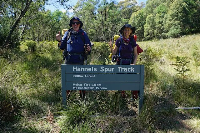
Start point of the Hannels Spur track (photo: Zac Zaharias)
We had first heard of Hannels Spur when we tackled Australia’s Ten Highest Peaks late last year. Hannels Spur track is historically significant. It follows the route taken by Polish explorer Paul Strzelecki, James McArthur and two Aboriginal guides when Strzelecki became the first European to ascend (and to name) Mt Kosciuszko in 1840.
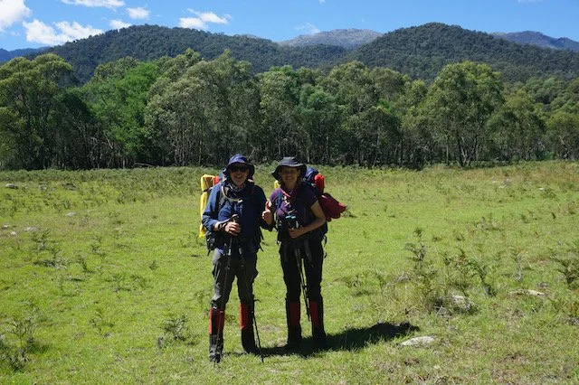
At Geehi Flat with Hannels Spur in background (photo: Zac Zaharias)
Tackling the single biggest vertical ascent in Australia, climbing 1,800 metres to the summit of Mt Kosciuszko (2,228m) from Geehi Flats, is not for the faint hearted.
Going with guide, great friend and Australian mountaineer Zac Zaharias from Peak Learning, up we went, learning more about the history of Hannels Spur along the way. Zac is one of the mountaineers who inspired our project.
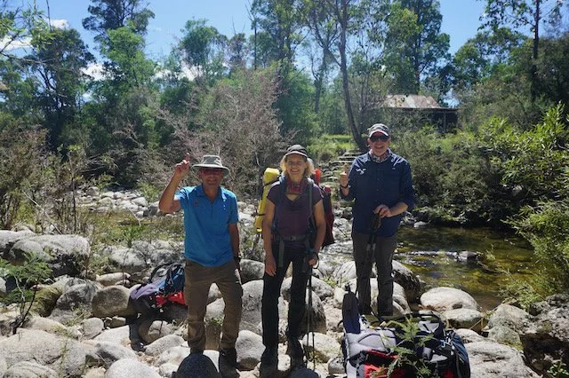
The three hardy hikers! (photo: Peak Learning Adventures)
It’s possible to do this this trip over two days. We decided to take three days with an additional camp in the beautiful Wilkinson Valley. This also included a side trip to the summit of Mt Townsend (2,209m), Australia’s second highest peak. We could have easily spent more days camping out in this magical place.
Day 1 Geehi to Moira’s Flat – 6.5km
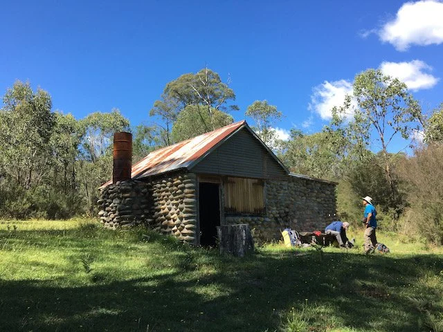
After the short crossing off Swampy Plain river to Forbes Hut, we regrouped to put our boots and gaiters on and hit the trail. The trail head is clearly marked with a National Parks sign after a few hundred metres located across a grassy field. Then the uphill hiking begins – no respite for some 1,100m!
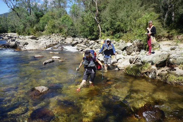
River crossing at Geehi Flat (photo: Zac Zaharias)
The trail is well maintained, with a few fallen trees to get over, but most with steps cut in to assist.
Along the way, there are huge old trees, with adequate tree cover providing shade on the majority of the ascent.
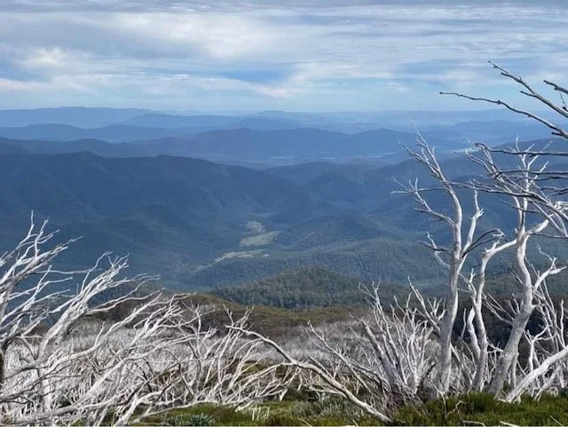
View back to Moira’s Flat
I’m always a firm believer that some of the best views are always behind you – and this day didn’t disappoint.
After some 5 hours including a much earned lunch stop, we arrived into the small camp site. All in time to light a fire, pitch a tent and look for water before sun set.
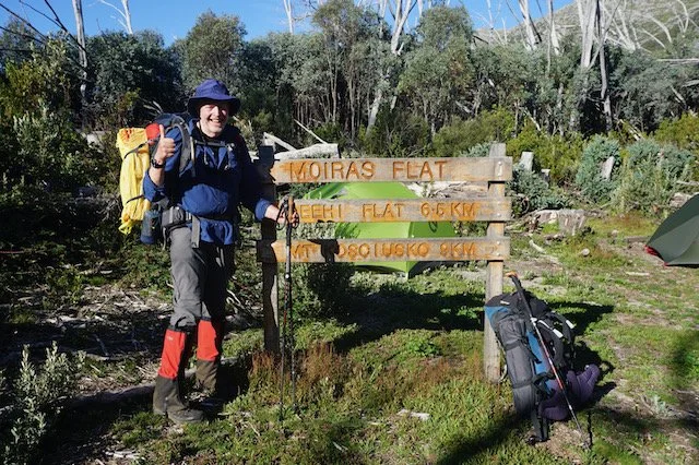
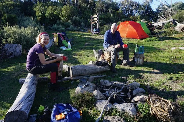
Day 2 Moira’s Flat to Wilkinson’s Valley – 7km
Waking up to a cloudy day, we hiked up for another 2kms. The bush was thick in some places, with some narrow and steep sections on the track. After around an hour we reached Byatt’s camp and above the tree line. If you found Moira’s Flat camping site too busy, this camp site is another option.
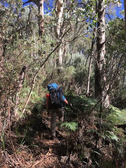
Hiking Hannels Spur – the relentless uphill
The day became somewhat easier, picking our way through the rocky moraine. Having a guide with us certainly helped along with hearing more mountaineering stories and learning more about Hannels Spur.
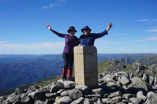
Summit of Mt Townsend (photo: Zac Zaharias)
After setting up camp again and replenishing our water supply, we set off to climb Mt Townsend. This was a 4km round trip to Australia’s second highest peak. There is a short rock scramble to the top. From the summit we had 360 degree views from Mt Jagungal in the North, to Mt Kosciuszko and Rams Head in the South East.
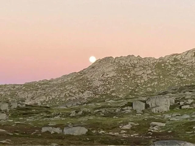
Full moon rising over Wilkinsons Valley
Back in camp, we witnessed an amazing sunset and the full moon rising – appearing almost at the same time.
There were a few other campers out and about but we did manage to find a secluded spot.
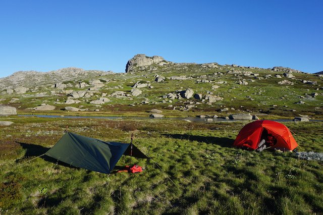
Campsite at Wilkinsons Valley (photo: Zac Zaharias)
Day 3 Wilkinson’s Valley to Mt Kosciuszko (2,228m), down to Thredbo – 12.6km
The start to the day was cold. We waited for the sun to hit our tent and add some warmth. After a hearty breakfast (well, freeze dried) we set off to tackle Mt Kosciusko, Australia’s highest mountain at 2,228m.
Walking out of Wilkinson’s valley via Mueller’s Pass, traversing through heath and alpine grasses made for an easy last day.
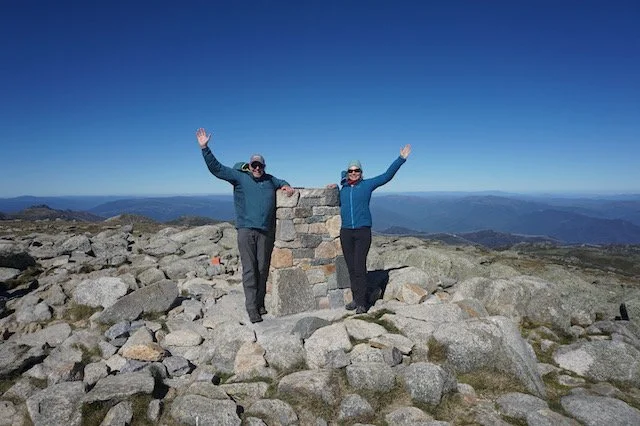
Mt Kosciuszko Summit (photo: Zac Zaharias)
Upon tagging the summit, it was an easy descent back down to Eagle’s Nest in time to catch the chairlift down to Thredbo Village.
The Hannels Spur traverse up and down to Thredbo, via a few mountains, is easily one of the most spectacular hikes in Australia. It takes in a huge variety of terrain and breathtaking views on a challenging trail. Zac reminded us that Australian mountaineers training for the Himalayas will do this in a day. Hmmmm, maybe next time!
Onwards and upwards!
Trevor
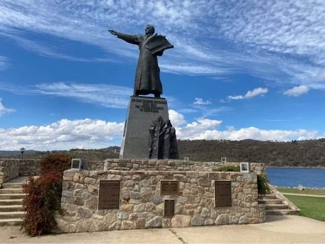
Strzelecki Monument in Jindabyne, pointing towards Mt Kosciuszko
Insights
Strzelecki named Mt Kosciuszko in honour of Tadeusz Kosciuszko, one of the national heroes of Poland.
Check the weather forecast before venturing into Alpine or mountainous areas.
Water is available from streams along the way. Note, there is no water available after Doctor Forbes Hut until you reach Moira’s Flat.
You will need to organise transport from Thredbo or Jindabyne to Geehi Flats.
Check out Peak Learning Adventures for additional adventures in the Kosciuszko National Park and beyond.
Read more of our posts about adventures in the Kosciuszko region.